MAURITIUS ca 1730
A Chart of the Island of Mauritius by John Thornton
MAURITIUS ca 1730
A Chart of the Island of Mauritius by John Thornton
Author: Thornton, John
Title: A Chart of the Island of Mauritius
Publisher: Mount & Page
Date: ca 1716 - 1745
Place: London
Dimensions: 43,3cm x 53,8cm
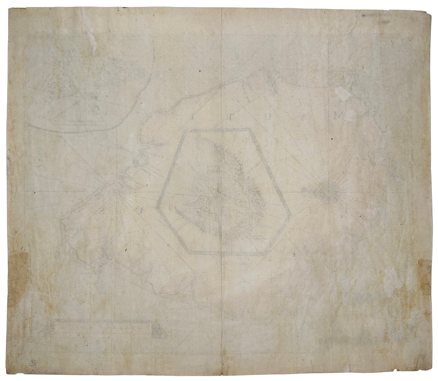
Single sheet, verso blank. Coloured sea chart of the Island of Mauritius. In manuscript to the lower right corner: “Sold by Richard Mount & T. Page, Town Hill, 1745”.
Originally executed and published by John Thornton in 1703 in the Third Book of an expanded, 18th century edition of John Seller’s work, begun in 1671: The English Pilot. When Thornton died, the rights passed to his son, Samuel who, along with Richard Mount, published another edition in 1711. Samuel Thornton died in 1715, after which the firm of Mount & Page published a number of editions – Tooley records 4 between 1715 and 1745. If the manuscript inscription is correct, this state is from one of these editions.
Very good, some professional tissue repairs to verso, a few small chips and tears to the margins.
Couldn't load pickup availability